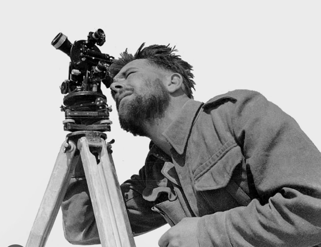
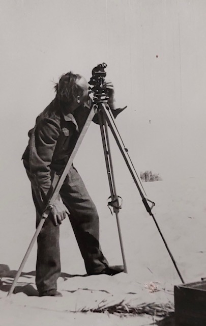
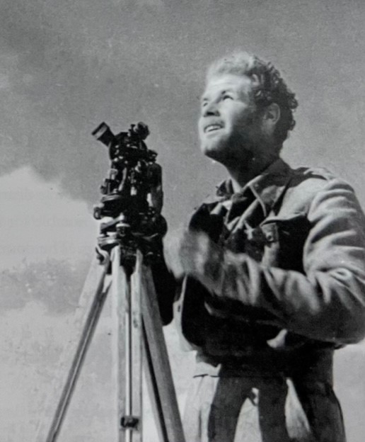
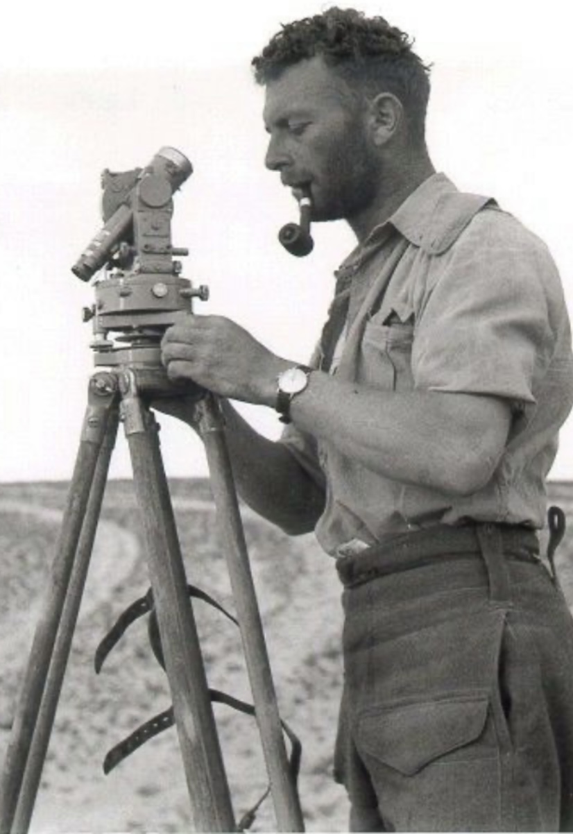
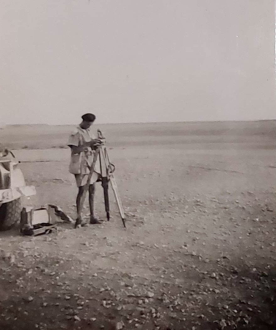
Theodolites in use with the Long Range Desert Group
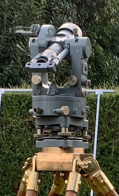
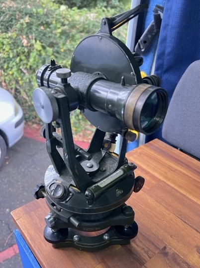
Theodolites are predominantly a survey tool, used by land surveyors to measure the rise & fall of the land, they could also be used to measure the angles of various stars & planets to plot a person’s position on a map in conjunction with a Almanac, this would be what the LRDG would use them for initially, the LRDG did also form their own survey patrol to improve mapping. The technique had been mastered by those who had carried out expeditions of the Egyptian, Libyan & Sudan deserts many years before, Kennedy-Shaw, Harding-Newman, Ball, Clayton, Prendergast & Bagnold, other than Ball all would play a major part in the Long Range Desert Group, Bagnold being the founder & inspirational leader to the men of the first patrols.
Theodolites used by the LRDG on the first few patrols were very thin on the ground, in fact the British Military only had one in stores at the time, so one got flown in from Sudan & the other was borrowed from the Egyptian Desert Survey dept, Bagnold, Shaw & Harding Newman were all friends with Murray the chap running that dept from their previous explorations of the area, so was very helpful when it came to maps as well.
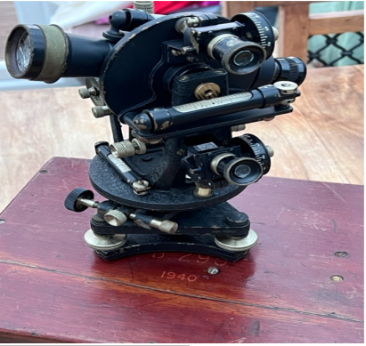
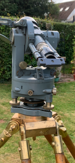
After the first few successful missions Bagnold was told to expand the Patrols so he established them into T, R, S & Y Patrols, gaining 2 patrols but losing W patrol. Supplies of navigation equipment became a little bit easier to acquire as the war progressed. The types of Theodolites that Bagnold & Shaw wanted for the Patrols were Wild, ER Watts & Son, Cooke, Troughton & Simms & Stanley types, all had closed in calibration dials (vernier type) & were not so prone to jamming up with sand etc.
The Theodolite was considered a very important piece of navigation equipment to the patrols & only those that had been trained on them were to handle it, it was to be stored by the navigator in a secure spot in the vehicle, not bouncing around in the back of the truck. Only approved technicians could repair or service them such was the delicacy of them.
The Theodolites purpose was to plot their position accurately at the end of the day or during the day if needed to confirm location. The navigators during the trips would use dead reckoning technique & this would give them a rough idea of their position, after a while some of the navigators were pretty accurate in their estimations only being a few miles out!
The Navigator & Wireless operator would work closely when it came to confirming their true position, the radio operator would get the BBC Pips on the Phillips 635v Radio & the pocket watches ready, it was the Wireless operator’s job to keep the pocket watches timings logged, noting if they were running fast or slow & then would correct them with the pips sounding. This would also be used to confirm timings in the Astro navigational Tables (ANT) Or the Nautical Almanacs. The ANT or Almanacs were printed with all the stars or planets positions in degrees at a specific time, normally in Greenwich meantime (GMT) this would then need to be calculated to Local time.
The Navigator would set up the Tripod & mount the Theodolite on it, level it as best he could, Bagnold said it didn’t matter too much just as long as it wasn’t too uneven! He would then select several stars to measure from, either by experience or if need be, by looking at the Star chart book for the latitude of Egypt which covered the night sky’s for the areas they were patrolling in. After taking 3 position lines he could then see on the map after some calculations his location. In laymen’s terms it’s like doing a resection/triangulate your position on the ground by using a compass on known landmarks, drawing the bearing line on the map from either 2 or 3 markers & where those lines cross is your position, only in Astro Navigation you are using the stars or planets as known landmarks.
At the end of the African campaign the use of a Theodolite for navigation was kind of redundant for most of the areas the Military was now fighting in, the land they were fighting on was full of distinguishing landmarks & other features, many were mapped sufficiently to navigate by map & compass, although the islands in the Aegean were apparently poorly mapped according to some memoirs!
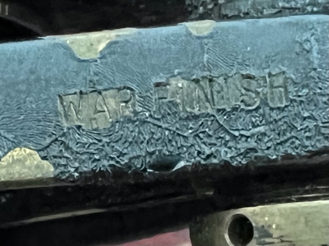
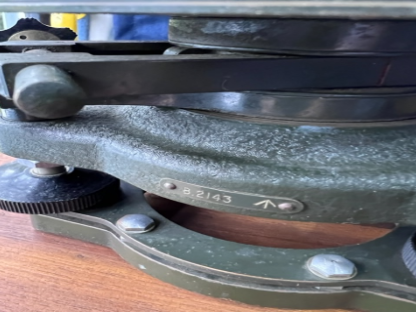
See following pictures of Theodolites in use with the LRDG.
About the Author
David Harrison from Paignton in the UK, I’ve had a keen interest in military history for over 30 years, several years ago became fascinated with the history & techniques of the LRDG after reading Ralph Bagnold’s Libyan Sands, avid collector of the navigation instruments, maps & other documentation they used. Hoping to complete my book (Guided by the stars) on the navigation methods they used during the North African campaign.
You can contact David at: DavidaHarrison72@yahoo.com